
American history, connected
When a homeland was divided into parcels
Allotment changed landholding—and created records that still shape family research.
A short read · 1887–early twentieth century
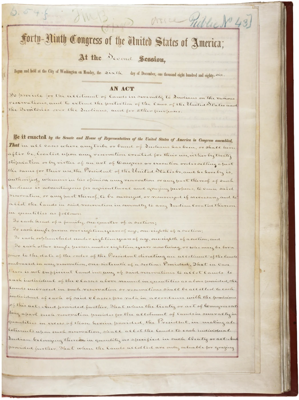
A parcel on a map can look simple. Its history may be anything but. The Dawes Act of 1887 authorized the division of many communally held reservation lands into individual allotments. Federal policymakers promoted this as a route toward assimilation into white American society. The process helped transfer large areas out of Native ownership.
The law did not initially apply to every nation. The Cherokee, Choctaw, Chickasaw, Muscogee (Creek) and Seminole nations were among its exclusions. Later legislation and agreements extended enrollment and allotment processes to them, despite opposition from tribal leaders. Their histories require attention to those differences in timing and terms.
The wider American story
Today, enrollment applications, census cards, allotment files and maps can help researchers follow families through these changes. They are also records created within an imposed administrative system. A classification on a card should be read with its purpose and context in mind.
Pair this story with the Homestead Act: federal land policy could support one family’s opportunity while undermining another community’s homeland. Who drew the boundaries, and whose authority did the map recognize?
Pause and connect
What does this story add to the American history you already know?
Explore next
Sources and further reading
Sources checked November 16, 2026. This is an introductory story, not a complete account of every community.